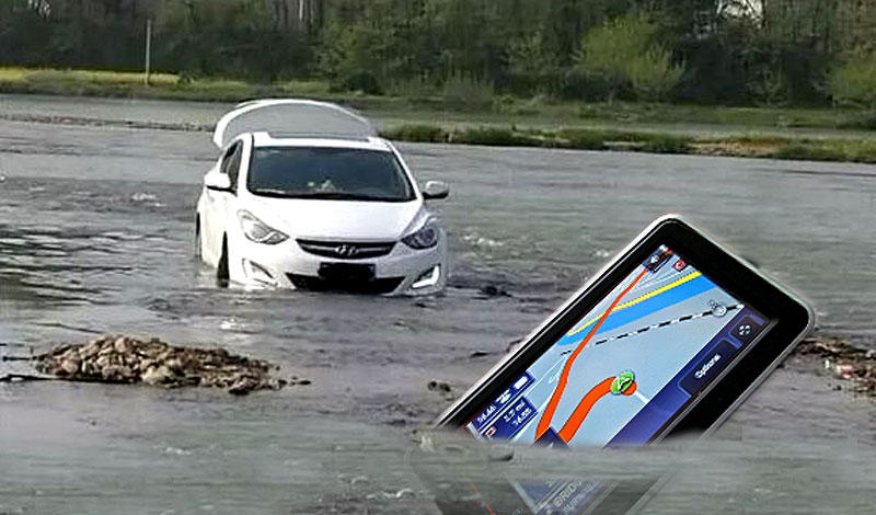
Lost your sense of direction? Blame your GPS. Scientists say that our reliance on dashboard devices is eroding our ability to create cognitive maps and is messing with our minds in general. We don’t even look at landmarks or the landscape anymore. We’ve become no more than interfaces between our GPS and our steering wheels.
But in other ways, GPS can spark a new appreciation of the physical world. A real-time flyover app reveals the stunning geological features otherwise invisible from our window seat.
And sensitive electronic sensors let us see where the wild things are and where they go. Learn how scientists put belts on jellyfish and produce maps that reveal the surprising routes taken by various species – from a single wolf, a group of phytoplankton, or a float of crocodiles.
Plus, one man is not ready to say goodbye to the traditional map. Find out why this cartographer insists on paper maps, not digital apps.
Guests:
-
Julia Frankenstein – Cognitive scientist, Darmstadt Technical University, Germany
-
Greg Milner – Journalist, author of “Pinpoint: How GPS is Changing Technology, Culture, and our Minds”
-
Amy Myrbo – Earth scientist, University of Minnesota
-
Oliver Uberti – Graphic artist and former senior design editor at National Geographic
-
James Cheshire – Geographer, University College London. Co-author, along with Oliver Uberti, of “Where The Animals Go: Tracking Wildlife with Technology in 50 Maps and Graphics.”
-
Tom Hedberg – Mapmaker and publisher at Hedberg Maps in Minneapolis, Minnesota
Segments:
Part 1: Death By GPS
Part 2: Geological GPS
Part 3: Zoological GPS
Part 4: Mapmaker, Mapmaker
originally aired December 18, 2017